

San Jacinto Peak Loop, 20 miles 5,300ft elevation gain

https://www.alltrails.com/explore/trail/us/california/san-jacinto-peak-loop-trail
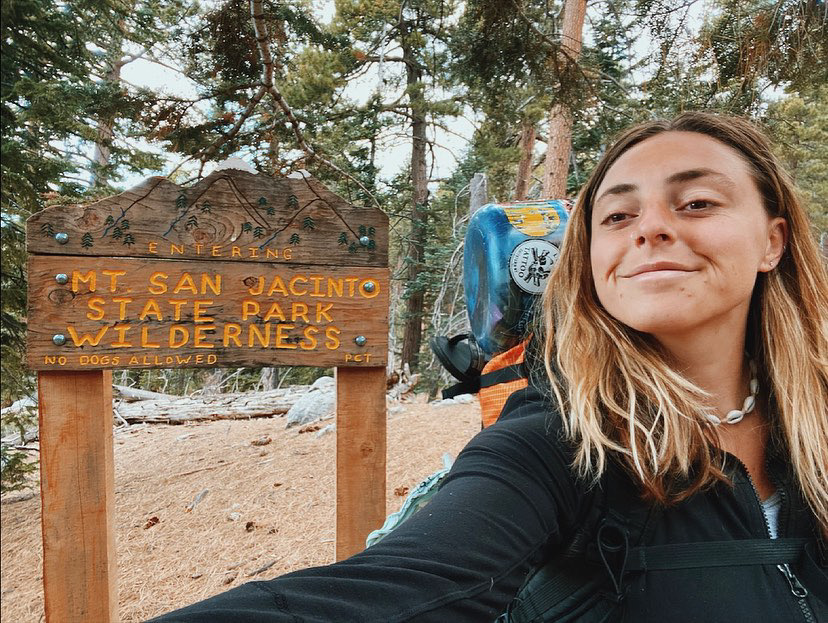
I drove up to the small mountain town of Idyllwild to pick up my permit and find the campground where I will be spending the night. At the entrance to the campground, I found the ranger station. There, I secured my permit and my reservation for Round Valley, one of the designated campgrounds up on the mountain. This also served as my permit.
The plan was to stay at Idyllwild Campground, wake up early and hike to San Jacinto Peak, then camp at Round Valley or dispersed camp somewhere on the way back. I know that part of the trail overlaps with the PCT and goes out of the State Park and into National Forest, so I was thinking that I could find my own dispersed spot somewhere in that section. From what I could find online, this seems okay, but I have to do some more research. If you know more than me, please let me know!
What’s nice about staying in the Idyllwild Campground, is that it is across the street from the trail. I got up early and moved my car to the trailhead. There are a few spots along the road, then I started up the trail.

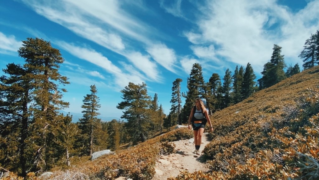
The trail begins and is immediately uphill, and continues uphill for the next 9 miles. I made it up to Strawberry Junction and turned left, going the loop clockwise.
The trees are tall and emit a warm and sweet smell. Their bark is thick with deep ridges and filled with holed from the woodpeckers. The ground is soft with pine needles and crunchy from pinecones. The birds are singing and it’s a truly beautiful day.
The trail is relentlessly uphill, full of switchbacks, and I found myself climbing for about 6 hours including breaks.

You have to carry a lot of water with you on this trip since it is scarce on the mountain. Especially depending on what time of year you go. During this trip, in May, there was water flowing in the springs, but the second time I did this trip, in July, most of the streams along the trail were dry, and finding water was unreliable.

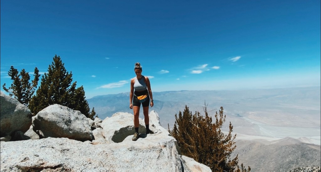
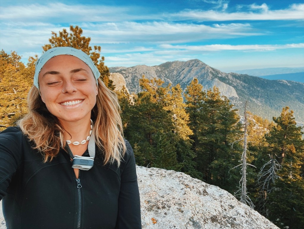
Mount San Jacinto Peak is at an elevation of 10,800ft. At that height, you can definitely feel altitude sickness. I made sure to drink lots of water during the hike and the day before since keeping hydrated can prevent altitude symptoms. Luckily, I was feeling great when I reached the top! It was an incredible 360 view and the perfect place to take off my pack and have a snack.

After laying on a boulder in the sun for a bit, I decided it was time to keep moving. I slung my pack onto my back and continued towards Round Valley Campground.
When I made it to the turn-off for Round Valley, I was thinking to myself, it’s still early and I’m feeling pretty good. I already did 10 miles, but I think I could go for a few more. Plus, I was pretty sure there was going to be a beautiful view coming up around the bend.
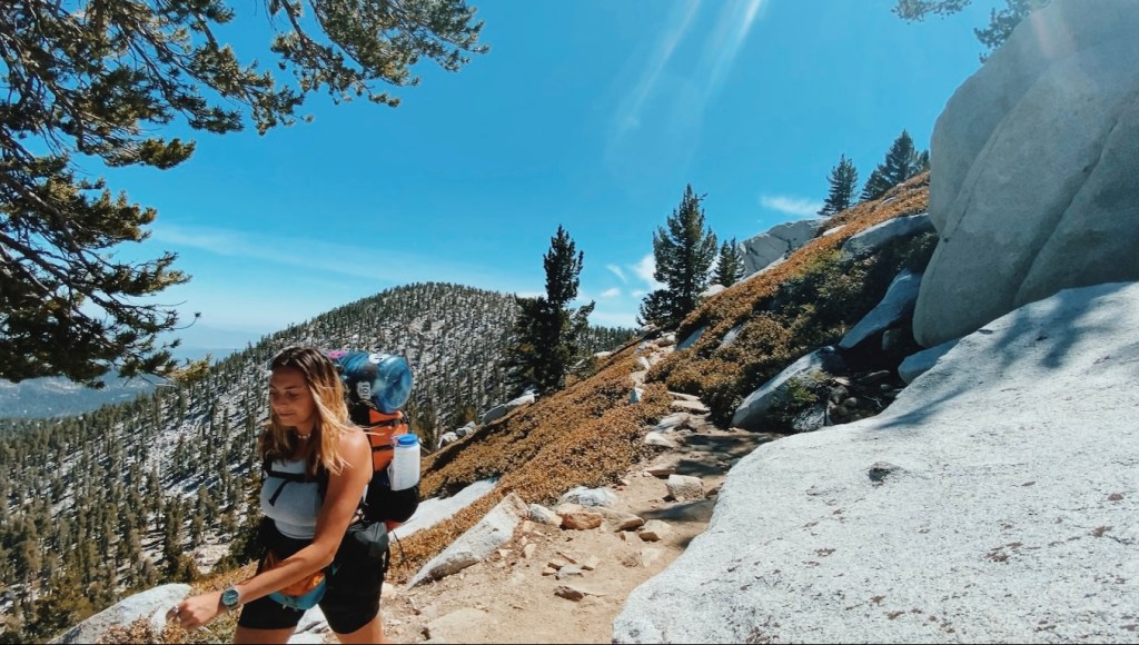

Sure enough, as I rounded into the section of the trail that overlaps with the PCT and is San Bernardino National Forest, the trees parted and presented a stunning view of Lily Rock and Tahquitz Peak. I started keeping an eye out for good areas to scout for a campsite.
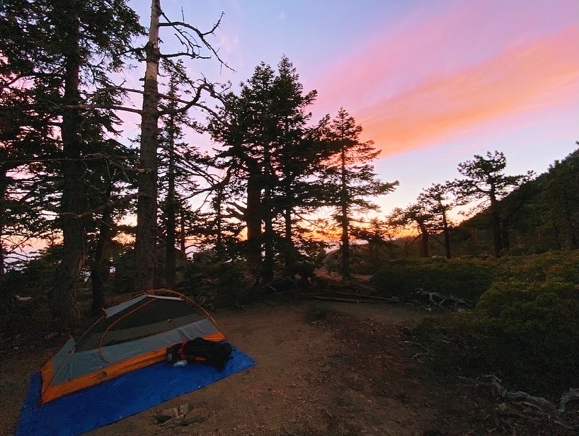
I could not have found a better spot. There was an open sandy area nearby that could host a number of hikers, and in fact, a group of PCT hikers did roll in after dark, but I found a neat little spot with enough space for one, tucked away in the trees. I had a big boulder next to my site that I climbed onto to watch the sunset, and again to watch the sunrise.
I slept without my rain tarp on and debated if I even needed to set up my tent at all and should have cowboy camped. I remember getting up in the middle of the night to pee and seeing a beautiful sky of stars. Between the views, the trail, this campsite, the sunset, and the stars, this was an excellent backpacking trip.
Thanks for hiking with me.
happy trails!
-Bee

Follow me on Instagram: @beeswildlife
